Same Site. Measured Over Time.
Track progress, measure volumes, and reduce risk on your project with consistent, accurate aerial data.
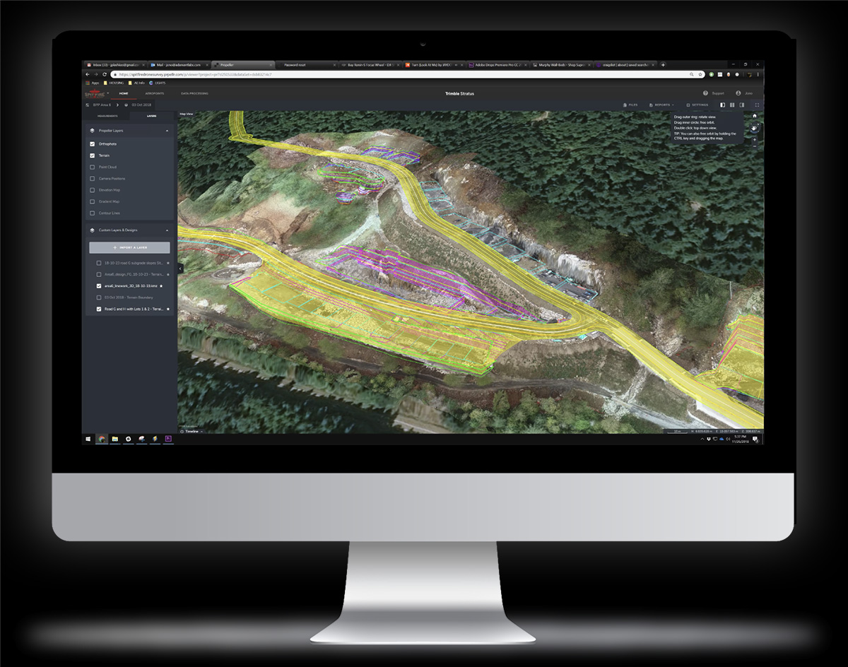
Survey-grade monthly updates delivered through Propeller—so your team can confidently monitor construction, development, and environmental projects.
Get survey-grade data your entire team can actually use — without specialized software.
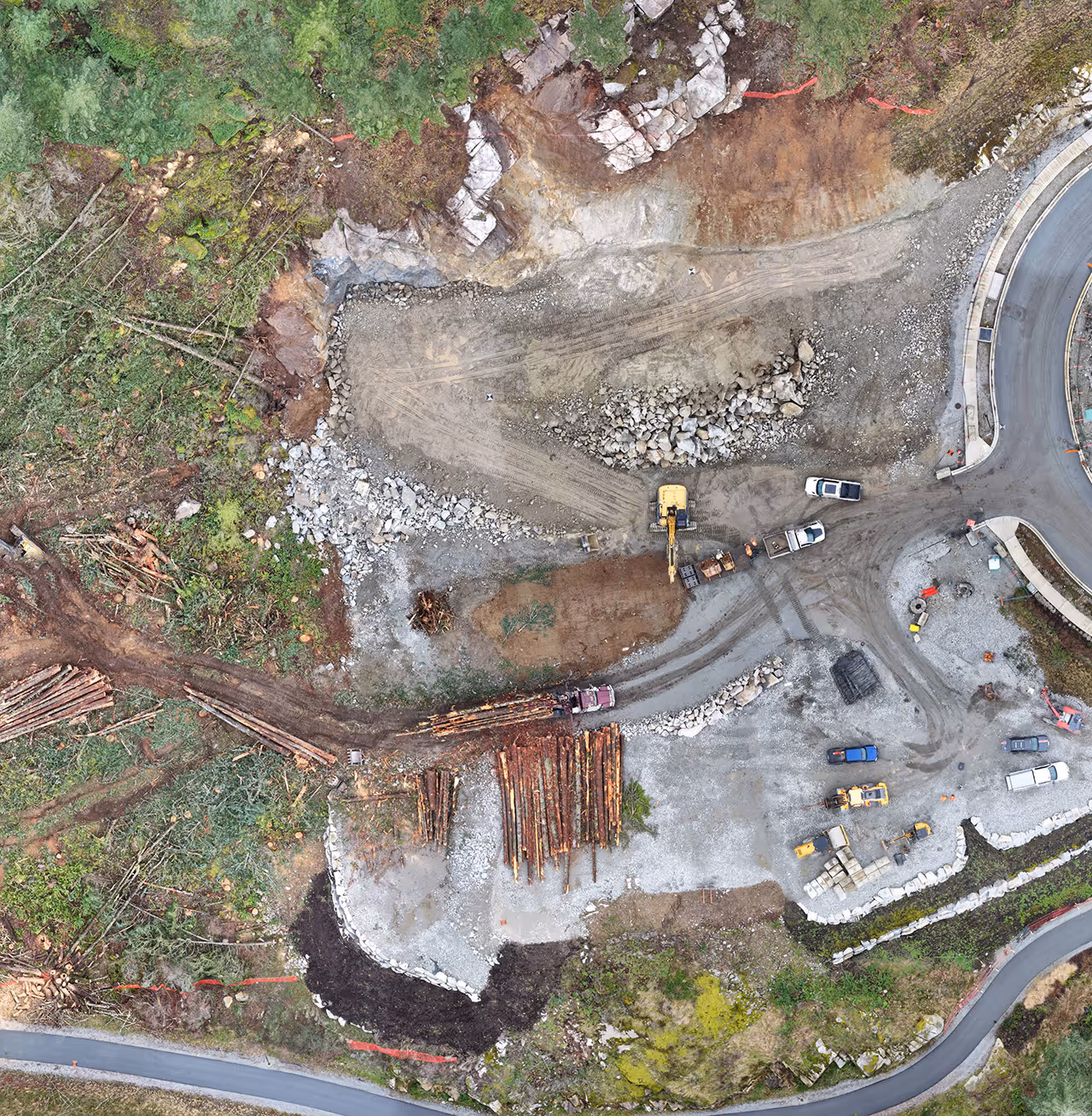
Track earthworks, progress, and site conditions with reliable data.
Monitor site activity and ensure projects stay aligned with design intent.
Measure erosion, monitor compliance, and document site changes over time.
Built for engineers, project managers, and consultants who need reliable information—not just visuals.
We define survey extents, accuracy requirements, and deliverables.
Drone LiDAR and imagery captured at consistent intervals.
Data is processed and verified to survey-grade standards.
Results delivered in Propeller and standard engineering formats.
Stay ahead of schedule risks and site changes
Make decisions with current, reliable data
Reduce costly rework and uncertainty
Maintain a consistent record of site progress
Make better decisions with up-to-date, survey-grade data — delivered every month. Let’s build a monitoring program tailored to your project.
Find out how we can help.

378 Esplanade E, North Vancouver, BC V7L 1A4
604-674-6900 | info@spitfiredronesurvey.com

Spitfire is excited to announce that we’ve been nominated for a North Vancouver Chamber Business Excellence Awards in the Innovation Category. The annual Business Excellence Awards recognize outstanding achievements of business people and business organizations in our community.